
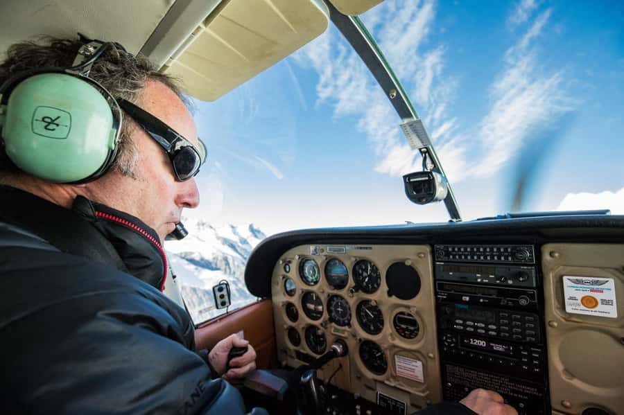
REVIEW · GLACIER HELI HIKES AND SNOW LANDINGS
Mt Cook: 55-Minute Scenic Flight in Helicopter or Ski Plane
Aoraki from the sky is a different world. In 55 minutes, you get expert-led commentary as you fly the Southern Alps route, including major peaks and glacier country that most people only see from viewpoints. I love the takeoff and first turn views, because the scenery hits right away and you do not wait around for the good part.
The second thing I like is the mix of big-mountain drama with glacier details, including aerial passes near Franz Josef and Fox Glaciers plus the Tasman Glacier route. One watch-out: sightlines can vary a lot by seat, and one traveler reported very poor visibility from a middle seat near the rotor area.
In This Review
- Key Highlights
- The 55-Minute Flight That Packs Glacier Country into One Loop
- Where the Flight Really Goes (And Why It Matters)
- Taking Off Over the Southern Alps: Your Best Views Begin Immediately
- Aerial Peaks Tour: Mount Cook, Mount Tasman, and Mount Sefton
- Franz Josef and Fox Glaciers From Above: The West Coast Comes into Focus
- The Tasman Sea Segment: A Coastline Break From All That Ice
- Recrossing the Main Divide and the Tasman Glacier Area
- Grand Plateau and Hochsteter Icefall: When the Scenery Turns Textural
- Under the East Face of Aoraki Mount Cook
- Helicopter or Ski Plane: Which One Fits Your Trip Mood?
- Seat Position Matters More Than You Think
- Live English Commentary: What You Should Listen For
- Photo and Phone Tips That Do Not Fight the Flight
- What I’d Pack (Comfort First, Ice Second)
- Weather Changes Are Real Here, So Go in With the Right Expectations
- Who This Flight Is Best For
- Is It Worth $447? The Value Math for a 55-Minute Aerial Tour
- Should You Book This Helicopter or Ski Plane Flight?
- FAQ
- How long is the Mt Cook scenic flight?
- What aircraft options are available?
- How much does the experience cost?
- Is a safety briefing included?
- Are food and beverages included?
- What items are not allowed on the flight?
- What happens if the flight is canceled due to weather?
Key Highlights
- Expert in-flight narration in English to connect the peaks to what you are seeing
- Southern Alps route built around Mount Cook, Mount Tasman, and Mount Sefton
- Glacier flyovers that include the Franz Josef and Fox Glaciers area from above
- Tasman Sea to Main Divide timing, so you see coastline and ice in one loop
- Small group capped at 6, which keeps the flight feel personal
- If weather changes, the operator may offer a different aircraft type to keep your experience going
Higher up, around Aoraki and Tekapo
- Mount Cook: Scenic Helicopter Flight with Alpine Landing
★ 4.8 · 442 reviews - Mt Cook Small Group Scenic Day Tour from Queenstown
★ 5.0 · 407 reviews - Mount Cook: Ski Plane and Helicopter Glacier Combo Flight
★ 4.6 · 271 reviews - Mount Cook: Mountains High 40-Minute Helicopter Flight
★ 5.0 · 53 reviews
The 55-Minute Flight That Packs Glacier Country into One Loop
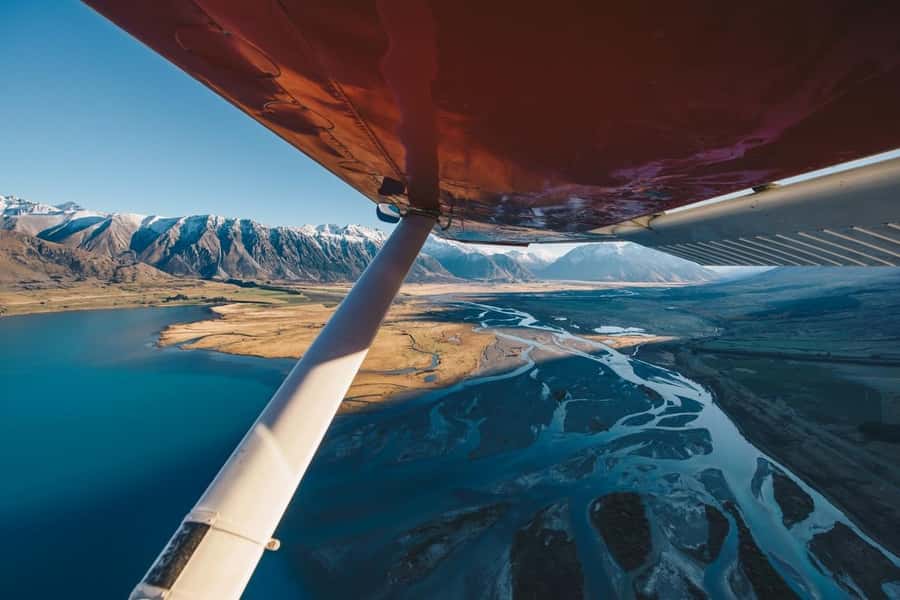
This is the kind of trip where you stop thinking about logistics and start paying attention to the view. A 55-minute aerial loop is short enough to feel energetic, but long enough to fly meaningful sections of the Southern Alps rather than just skimming the edges.
You choose between a ski plane or a helicopter, and that choice can affect what you notice during the flight. A ski plane flight often feels more fixed and smooth, while a helicopter can feel more responsive in the air. Either way, the structure of the route is designed around the same star attractions: Aoraki Mount Cook area, the Tasman Glacier region, and the West Coast glacier scenery.
Where the Flight Really Goes (And Why It Matters)
The itinerary is more than a line on a map. It is built to give you variety in a single shot: high peaks, icy valleys, and glacier systems that look almost unreal from above.
You start by leaving the Mount Cook region and traveling across the Main Divide toward the West Coast. From there, the flight leans into glacier country. You will fly over or around the areas associated with Franz Josef and Fox Glaciers, then track north along the Tasman Sea. After that, you recross the snow-capped peaks of the Southern Alps and follow the route toward the Tasman Glacier area.
Finally, you work your way back south toward Mt Cook National Park, passing through the Grand Plateau and near the Hochsteter Icefall. The flight goes under the east face of Aoraki Mount Cook before descending toward Tasman Terminal Lake.
Why this matters for you: if you are short on time in New Zealand’s South Island, aerial sightseeing can compress days of driving and viewpoint hopping into under an hour. And if you are a photography person, you get multiple angles fast, including both the coastline context and the icefields context.
Taking Off Over the Southern Alps: Your Best Views Begin Immediately
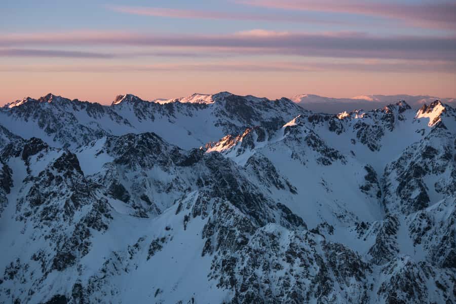
Most people assume the best views come later. On this kind of flight, that assumption is wrong. You are in the air almost as soon as you leave, which means your first turns can already show impressive mountain geometry.
From the early minutes, you will start noticing scale. Peaks do not just look tall, they look jagged and sculpted, like frozen waves. The route is timed so you see major features during clear sight windows, but you still should expect that snow, cloud, or angle can change what you see.
If you want the most usable photos, you will do best with quick settings and a readiness to pan. There is not a lot of time to set up every shot, and the action is constant.
Aerial Peaks Tour: Mount Cook, Mount Tasman, and Mount Sefton
This flight is not random. You specifically fly around Mount Cook, Mount Tasman, and Mount Sefton, and that trio is the backbone of the Southern Alps drama.
From above, these mountains read differently than they do on a road viewpoint. You can see ridgelines and connecting saddles, and you can spot how the terrain funnels toward glaciers and valleys. Even if you are not a mountaineer, you will start to understand the region’s structure.
The value here is perspective. Ground-level sightseeing can make one mountain look like the whole show. From the air, you see how the range behaves as a system: big peaks feed ice, ice feeds rivers of rock and snow, and the valley layout controls what shapes you see in the end.
Other ways onto the ice
Franz Josef and Fox Glaciers From Above: The West Coast Comes into Focus
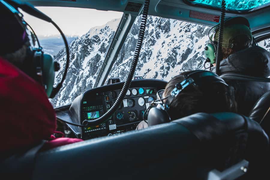
Then you head toward the West Coast glacier zone. You get aerial views over the Franz Josef and Fox Glaciers, which is a huge deal because those ice formations are notoriously hard to fully appreciate from far away.
From the air, glaciers look less like a single block and more like a moving landscape of fractures, flow lines, and color shifts. You also get the relationship between the glaciers and the surrounding slopes, which makes the scale click fast.
One practical note: from a cockpit-level angle, glacier edges can look sharp and photogenic, but the middle can sometimes appear flatter depending on lighting and cloud cover. So if you want the most satisfying photo, aim to capture the glacier outline and nearby mountain contrast, not only the brightest ice.
The Tasman Sea Segment: A Coastline Break From All That Ice
A lot of glacier trips feel like they blur together. Here, you get a breather. After the West Coast section, you track north along the Tasman Sea.
Seeing coastline from this altitude does two things for you:
- It anchors the whole trip. The glaciers stop being isolated curiosities and start looking connected to the broader region.
- It changes the color and lighting. Water reflections can contrast with snow glare, which helps your eye rest between ice-dense visuals.
Even if you do not care about geology, the coastline segment makes the route feel like a complete loop rather than a single theme.
Recrossing the Main Divide and the Tasman Glacier Area
When you recross the Southern Alps peaks and move toward the Tasman Glacier area, the flight turns more intense in a visual way. The mountains feel closer together, and the icefields stretch out.
This is also where the route starts to feel like it is designed for story. You have already seen West Coast glacier scenery, then you see the national-park style ice that dominates the Mt Cook region. The shift helps you understand why people talk about these areas like they are different worlds, even though they are part of the same system.
If you are the type who loves a clear “wow sequence,” this section is likely to be one of your best moments.
Grand Plateau and Hochsteter Icefall: When the Scenery Turns Textural
The flight then goes through the Grand Plateau and passes by the Hochsteter Icefall.
This part can be subtle if you only expect a simple view of white ice. Icefall areas tend to show texture: broken segments, patterns of movement, and irregular boundaries. From the air, that texture becomes part of the show.
If you are filming or photographing, you can treat this like your mid-flight “details check.” The wide panoramas are great, but the icefall section can give you the richer close-up vibe from a safe distance.
Under the East Face of Aoraki Mount Cook
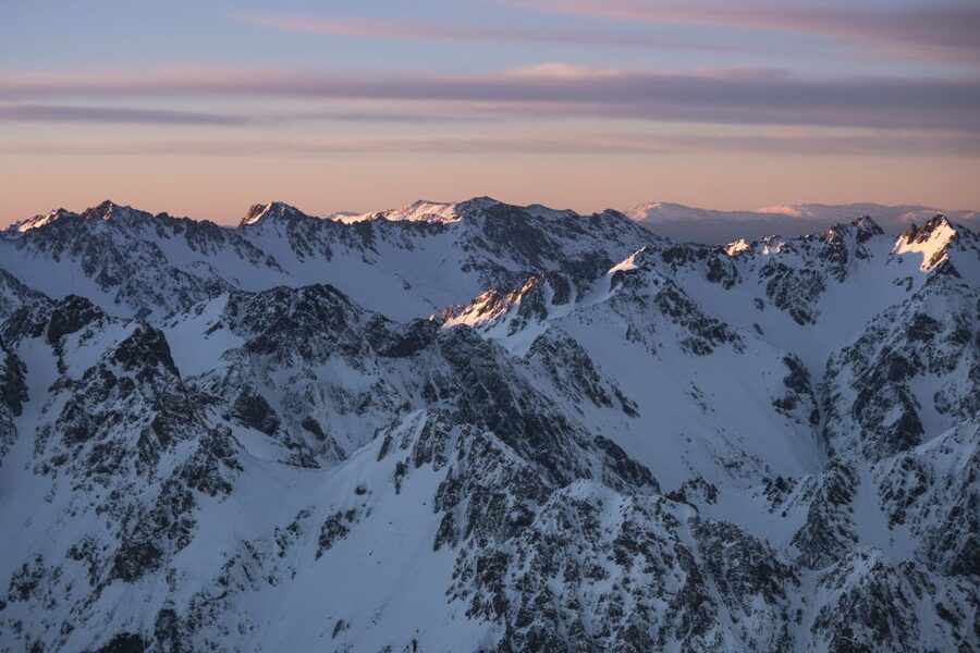
One of the most dramatic mentions in the route is that you pass under the east face of Aoraki Mount Cook before descending toward Tasman Terminal Lake.
This is where the mountains can feel almost vertical. From the window, you often get a sense of scale that is hard to match with ground-level viewing. The aircraft angle matters here, and so does seat position.
This is also where the in-flight guide narration helps most. When you hear the names and the context, the view becomes easier to interpret rather than just pretty.
Helicopter or Ski Plane: Which One Fits Your Trip Mood?
You can fly either a helicopter or a ski plane, depending on the conditions and the operator setup.
Here is how I’d think about it:
- If you want the most classic, smooth flight experience with glacier-country visuals, a ski plane can feel made for the route.
- If you are sensitive to scheduling and aircraft changes, a helicopter option can be a lifesaver when conditions shift, and one traveler specifically credited a plan adjustment that helped them still get airborne.
Either choice is still a 55-minute experience, so the real difference for you will be comfort, feel, and how it handles during variable weather.
Seat Position Matters More Than You Think
Small group means fewer people, but it also means fewer seat “safe options.” One traveler had very poor visibility from a specific middle seat position, right behind the rotor area and near the pilot and passenger, and that strongly affected their experience.
If you care about photos or you get frustrated by obstructed views, ask about seating arrangement in advance when you book. And when you board, pay attention to where the rotor or structure might block the angle of the view you care about most.
Live English Commentary: What You Should Listen For
A guide provides live commentary in English, and that is not just for fun. It helps you connect the names to what you are seeing in real time.
During the loop, you will likely hear references to the main features you pass, including the major peaks and glacier regions. If you listen actively for the order of locations, the flight stops being random scenery and becomes a guided understanding of how the Southern Alps are laid out.
Photo and Phone Tips That Do Not Fight the Flight
Good news: you can use your camera and phone during the flight. Also, you cannot bring selfie sticks and you cannot bring bags, so you will want pockets and a small, secure camera setup.
Practical tip: keep one hand free if possible. The aircraft makes constant subtle movements, and you want stability while taking photos. If you use a phone, check whether you can lock exposure or focus quickly so brightness shifts do not ruin your shot.
What I’d Pack (Comfort First, Ice Second)
This is not a hiking trip. Still, comfort matters because you are in a seat for 55 minutes in cold mountain air.
Bring comfortable clothes. Wear layers if you run cold. Keep movement simple so you are not wrestling with zippers, bulky coats, or a complicated bag situation, since bags are not allowed.
If you think you might want snacks, remember that food and beverages are not included. Plan on eating before you fly, so you do not feel stuck thinking about hunger mid-flight.
Weather Changes Are Real Here, So Go in With the Right Expectations
This region’s weather can shift quickly, and the operator plans for that. If the flight is canceled due to weather, you will be offered a full refund or rescheduled tour.
Your flight also might be rescheduled in the rare case that the combined weights of passengers hit the safety limit. In other words, the goal is safety first, and the day’s plan can shift.
I like this approach because it signals the operator is not cutting corners. For you, the best strategy is to build flexibility into your South Island schedule, especially if you are combining this flight with other activities that depend on clear mountain conditions.
Who This Flight Is Best For
This tour suits you if:
- You want the highest impact views with the least driving in a short time
- You love mountains, glaciers, and big scenic moments without a full day commitment
- You prefer a small group experience with limited people
- You want guided context while you look, not just a cockpit window and silence
It may not fit you if:
- You have mobility limitations, since it is not suitable for people with mobility impairments
- You weigh over 254 lbs (115 kg), since that is a stated limit
- You get easily frustrated by reduced visibility from certain seating angles
Is It Worth $447? The Value Math for a 55-Minute Aerial Tour
At $447 per person, this is not a cheap splurge. But it is also not priced like a random thrill ride.
Here’s why I still think it can be good value for the right person:
- You get a guided loop that covers multiple named mountains and glacier regions in one flight.
- You save time compared to trying to drive and view all those areas from the ground.
- The experience is small group limited to 6 participants, which helps keep the trip from feeling crowded.
If you are on a tight budget, you might decide to skip it. If you are willing to pay for a “do it once, see it all” Southern Alps moment, the price can feel justified because the flight delivers breadth and speed that ground travel cannot match.
Should You Book This Helicopter or Ski Plane Flight?
I’d book it if you want a fast, guided, high-views hit of Aoraki and the glacier regions, especially if your schedule allows flexibility for weather. The small group size, English narration, and the specific route through peaks, the Tasman Sea, and glacier country are exactly what make this worth considering.
Hold off if you know you are very sensitive to seat-based visibility or you do not like paying premium prices for weather-dependent regions. In that case, ask about seating when possible, and plan to keep some slack in your itinerary.
If you want one word to guide your decision: go. If your priorities are scenic coverage and guided glacier views in under an hour, this flight is built for that.
FAQ
How long is the Mt Cook scenic flight?
The flight lasts 55 minutes.
What aircraft options are available?
You can fly in either a ski plane or a helicopter.
How much does the experience cost?
The price listed is $447 per person.
Is a safety briefing included?
Yes, a safety briefing is included.
Are food and beverages included?
No, food and beverages are not included.
What items are not allowed on the flight?
Selfie sticks are not allowed, and bags are not allowed.
What happens if the flight is canceled due to weather?
If the tour is canceled due to weather conditions, you will be offered a full refund or a rescheduled tour.
More Ways Onto the Ice
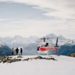
Aoraki and the Mackenzie
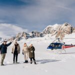
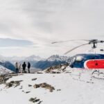
Just added to our Mount Cook notes
- Mt Cook: 55-Minute Scenic Flight in Helicopter or Ski Plane★ 4.1 · 6 reviews
- Mount Cook: 50-Minute Aoraki Scenic Helicopter Flight★ 4.7 · 10 reviews
- Mt Cook to Christchurch One-Way Small Group Tour via Lake Tekapo★ 5.0 · 16 reviews
- Mount Cook Alpine Explorer Helicopter Flight with Alpine Landing★ 4.0 · 22 reviews
- Mt Cook to Queenstown Small Group Tour (One-Way)★ 4.5 · 25 reviews
- Mount Cook: Alpine Vista Helicopter Flight with Alpine Landing★ 4.5 · 39 reviews
Glacier Heli Hikes and Snow Landings, compared.
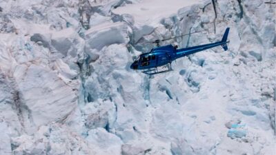 ★ 4.8Franz Josef Glacier: Helicopter Flight & Alpine LandingFrom $230619 reviews
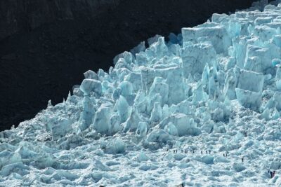 ★ 4.5Franz Josef Glacier Heli-HikeFrom $506618 reviews
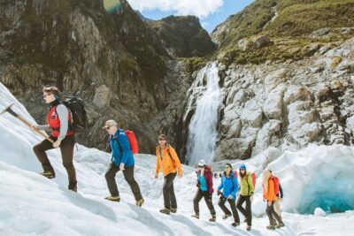 ★ 5.0Heli Hike Fox GlacierFrom $477563 reviews
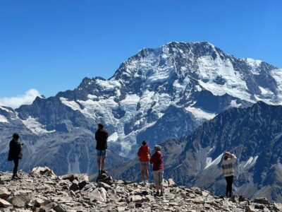 ★ 4.8Mount Cook: Scenic Helicopter Flight with Alpine LandingFrom $226442 reviews
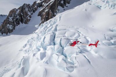 ★ 4.7Franz Josef & Fox Glaciers Helicopter Flight & Snow LandingFrom $289342 reviews
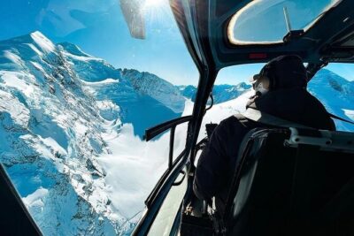 ★ 5.0Pilot’s Choice: 2 Glaciers & Snow Landing – 35minFrom $300336 reviews
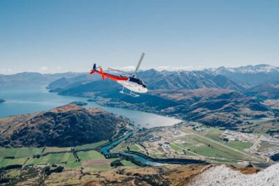 ★ 4.9Queenstown: Pilot’s Choice Helicopter Tour & Alpine LandingFrom $230291 reviews
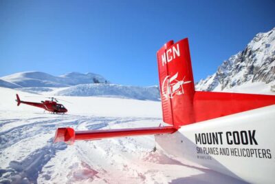 ★ 4.6Mount Cook: Ski Plane and Helicopter Glacier Combo FlightFrom $328271 reviews
Browse the lists this tour appears in