
REVIEW · AORAKI MOUNT COOK AND LAKE TEKAPO
Mount Cook: Aoraki/Mt Cook & The Glaciers 55 Minute Flight
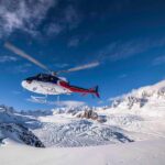
Ice and peaks in one short flight. You’ll get over Tasman Glacier Lake and follow the Tasman Glacier up into the Southern Alps, then land on snow near Aoraki/Mt Cook for photos. I also really like how the pilot adds informative commentary, so the views feel connected instead of just pretty, and the ride is built for smooth viewing time rather than a rushed blur. One consideration: routes and landings can change with weather and pilot discretion, so you need a bit of flexibility.
This is the kind of trip where 55 minutes can feel like a whole day, because you’re seeing multiple glacier systems from the air and getting a rare alpine landing moment. You also get a high-value small group setup, limited to 6 participants, which helps keep things calm at departure and during the flight. If you’re aiming for a very specific photo spot, be prepared for snow and visibility to have the final say.
If you want a glacier fix without the gear, training, and multi-day commitment of mountaineering, this is a smart way to do it. You’ll come away with a clear sense of scale for Aoraki/Mt Cook and the West Coast glacier field, especially on bright days when the ice tones and peaks pop.
In This Review
- Key things to notice before you book
- Glacier-hopping by helicopter from Mount Cook
- Starting at Glentanner Park Centre and getting airborne
- Over Tasman Glacier Lake, then along the Tasman Glacier
- An alpine landing near Aoraki/Mt Cook, subject to snow levels
- Crossing the Southern Alps toward Fox and Franz Josef Glaciers
- The return flight and summit ridge views of Aoraki/Mt Cook
- Price and value: what $523 really buys
- Weather realities and how to plan so you do not get stuck
- What to bring, what not to bring, and photo tips that actually help
- Who this helicopter glacier flight suits best
- Should you book this flight? My decision guide
- FAQ
- How long is the helicopter flight?
- Where does the flight start and where do you return?
- Will we land on snow near Aoraki/Mt Cook?
- Which glaciers can you see on this flight?
- Is there a guide during the flight?
- How many people are in the group?
- What is included in the price?
- Are drones, selfie sticks, or tablets allowed?
- What should I bring and wear?
- Are there age limits for children and infants?
Key things to notice before you book
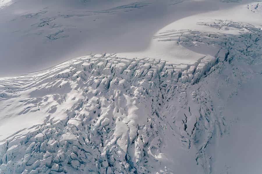
- Tasman Glacier route: You fly over Tasman Glacier Lake and then track the Tasman Glacier, New Zealand’s longest (23 km long in the overview provided).
- Snow landing option: You can land on snow near Aoraki/Mt Cook, subject to snow levels.
- Three glacier views: You see Tasman, Fox, and Franz Josef glaciers in one flight.
- Small group feel: Limited to 6 participants, so the experience stays personal.
- Pilot-led storytelling: Live, English commentary helps you understand what you’re seeing, not just where.
- Weather-driven flexibility: Flight paths and landings may vary based on conditions.
Higher up, around Aoraki and Tekapo
- Mount Cook: Aoraki/Mt Cook & The Glaciers 55 Minute Flight
★ 4.7 · 31 reviews
Glacier-hopping by helicopter from Mount Cook
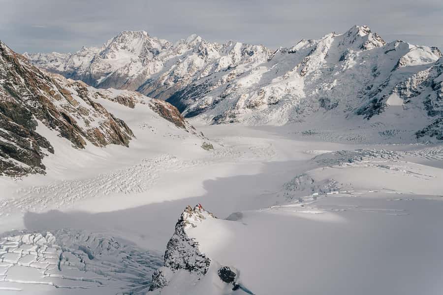
This flight is built around one big idea: you trade hours of hiking and scrambling for a straight-line route across some of the most dramatic ice terrain in the South Island. In less than an hour, you can go from Mount Cook country into glacier valleys, then back again with wide views of Aoraki/Mt Cook’s summit ridge.
What makes it especially compelling is the combination of scale and variety. The Tasman Glacier is described as 23 km long and up to 4 km wide in places, so even from the air you get a sense of how these systems dominate the valleys. Then, instead of stopping with just one glacier, the route continues over to the West Coast ice field to show Fox Glacier and Franz Josef Glacier.
For me, the value comes from the fact that you are not only viewing glaciers from above, you also get an alpine landing on snow near Aoraki/Mt Cook. That landing is the moment that turns a scenic flight into a true experience.
Starting at Glentanner Park Centre and getting airborne
Your day centers on Glentanner Park Centre in the Mount Cook area. The provider also can arrange complimentary transportation to and from Aoraki/Mt Cook Village, which matters if you are basing yourself in the village but do not want to figure out parking and timing on your own.
Because this is a small group (up to 6), you generally spend less time herding people around and more time actually being ready when it’s time to fly. The duration is listed as 55 minutes, and that total includes the landing, so it is not one of those tours where you burn most of the time in the vehicle and then rush the actual experience.
You’ll also have to think ahead about what you wear and bring. Warm clothing is not optional here, and sunglasses help because snow glare can be intense when skies are bright. Closed-toe shoes are required, and the flight has rules against drones, selfie sticks, and tablets or iPads.
Over Tasman Glacier Lake, then along the Tasman Glacier
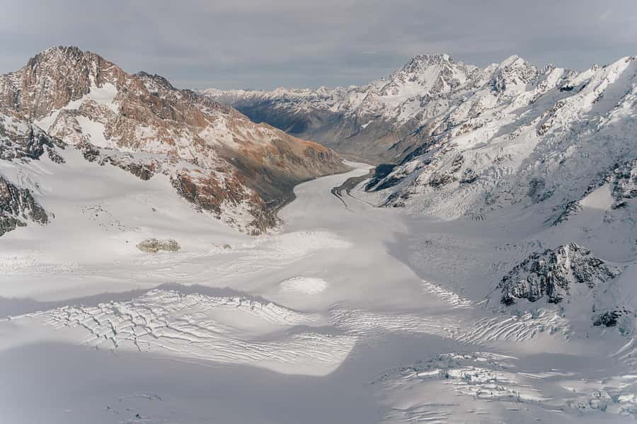
The flight begins with views over Tasman Glacier Lake, then moves you into the path of the Tasman Glacier. This part is where the helicopter really earns its keep. From ground level, you get limited sight lines, and weather often locks in fog or blocks key angles. From the air, you see the glacier system as a whole, including how it threads through the terrain.
The Tasman Glacier is New Zealand’s longest glacier in the overview provided, and the 23 km length and width details are a useful mental model. That means you are not just seeing a narrow ribbon of ice. You’re seeing a mass that shapes the valley and the flow patterns around it.
If the weather is clear, you may notice strong color contrasts too. One account highlighted turquoise lakes and snow-capped peaks even in summer, which is a reminder that glacier country can be visually dramatic year-round. Just remember that those crisp views depend on the sky and visibility on the day, not on anything you control.
An alpine landing near Aoraki/Mt Cook, subject to snow levels
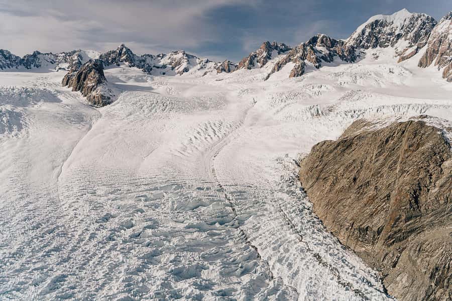
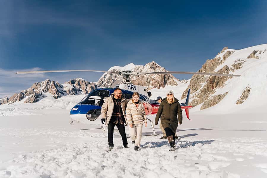
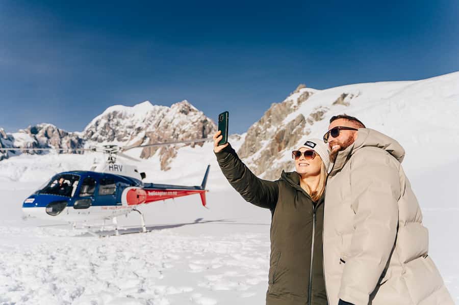
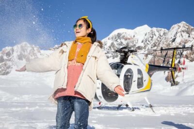
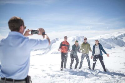
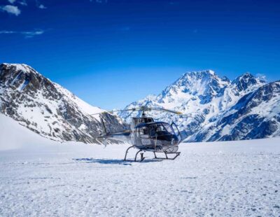
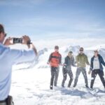
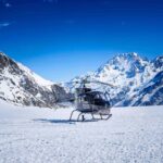
One of the biggest reasons to consider this flight is the chance to land on snow near Aoraki/Mount Cook. You get time at the landing spot for photos and videos, and that short stop is the difference between watching scenery and actually being in it.
The landing is explicitly subject to snow levels, and that detail matters. Even in summer, conditions around alpine terrain can vary, so you should plan for the possibility that snow access could be limited or adjusted. The good news is you are still getting the aerial route through Mount Cook country and into the glacier valleys.
Aoraki/Mt Cook is New Zealand’s iconic high peak, and you’ll be able to take in the tallest peak from an unusual angle. From the air, you can often understand the mountain’s ridges and surrounding basins better than from viewpoint walks, where you only see one slice of the puzzle.
Practical tip: treat the landing like a quick photo session, not a long wander. Bring your camera settings ready, keep your hands warm, and focus on getting one or two sharp wide shots plus a couple of close-ups while you have the chance.
Crossing the Southern Alps toward Fox and Franz Josef Glaciers
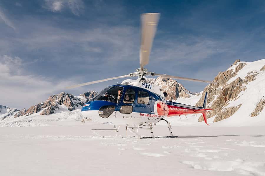
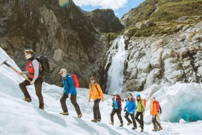
After the Mount Cook snow landing segment (when conditions allow), the flight pushes into the rugged Southern Alps and heads west. This is where you get the “all in one” payoff, seeing both Fox Glacier and Franz Josef Glacier during the same flight window.
The West Coast glacier field is known for dramatic ice tongues dropping close to sea-level influence. Even without technical glacier knowledge, you can see why this area feels so intense. The terrain is steep, the angles look sharper, and the glacier shapes look different from one another, because they sit in different valleys.
What I like here is that the helicopter route does the connecting work. Instead of traveling between separate viewpoints and hoping you catch the right weather at the right time, you get a continuous aerial perspective. You watch the mountains switch character from alpine highlands toward West Coast glacier country.
This portion is also where calm viewing matters. Your success here depends on getting stable flight conditions and good visibility, and the included pilot commentary helps you stay oriented as the glacier systems come into view.
The return flight and summit ridge views of Aoraki/Mt Cook
Once the route has crossed the glacier country, you circle back with views that wrap the whole experience together. The overview notes full-circle viewpoints that include the summit ridge of Aoraki/Mt Cook again.
That return segment can be more than just a way to get home. Seeing the mountain ridge from the opposite side helps your brain “lock in” geography. Even in a short flight, you start to connect where the glaciers sit relative to the main peak and the surrounding saddles.
If you get good light and clear skies, the return can feel like a second chance at the best photos. Snow glare and cloud cover can change quickly, so having another pass at the summit ridge is a real advantage of this route design.
Price and value: what $523 really buys
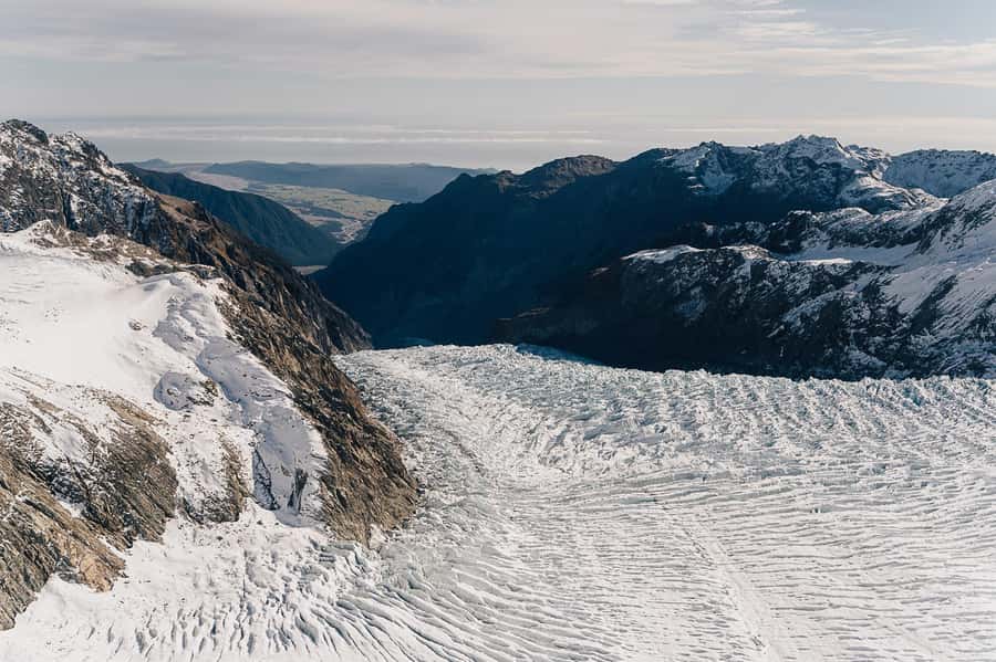
At $523 per person for a 55-minute flight, this is not a budget activity. The value comes from three things you simply cannot replicate with regular sightseeing:
First, you get a direct, aerial view of multiple glaciers in a single outing, including Tasman Glacier and the West Coast glaciers (Fox and Franz Josef). That alone saves time and reduces the “I might see it” uncertainty that comes with ground viewpoints.
Second, the price includes a snow landing option and pilot-led commentary. A landing is a premium use of helicopter capability, and it is what turns the flight into a memory you can physically anchor with photos.
Third, the overview notes concession fees included for conservation and sustainability management. That is a small line item on paper, but in glacier and alpine areas it matters because these are fragile environments with real operating costs.
You should still decide based on your priorities. If your goal is glacier views only, you might find cheaper scenic options elsewhere. If your goal is glacier country plus the rare landing moment, and you want it packaged efficiently, this price starts to make sense.
Weather realities and how to plan so you do not get stuck
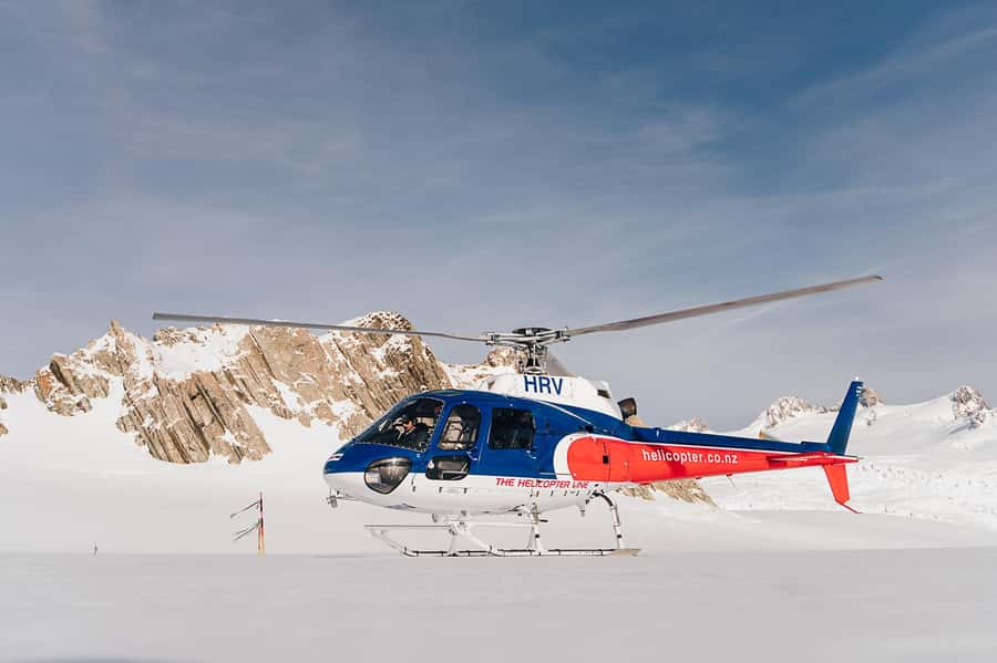
The overview is clear that flights, landings, and routes may vary due to weather and the pilot’s discretion. This is the big practical truth for glacier flying in New Zealand: the sky is part of the itinerary.
So your best strategy is simple. Book early in your Mount Cook stay and keep enough flexibility to adjust if conditions require it. The experience is weather dependent, and if the conditions are not favorable, you will be offered an alternative date or a full refund according to the provided information.
Also, understand that “weather” is not only about rain. Visibility, wind, cloud base, and snow cover all affect what the pilot can do safely. That is why snow levels determine whether you land on snow near Aoraki/Mt Cook.
If you are someone who only wants one day of plans, this might feel stressful. If you treat it like the centerpiece of your Mount Cook timing, you can give it the best chance to succeed.
What to bring, what not to bring, and photo tips that actually help
Bring warm clothing. Even on a clear day, alpine air can bite fast once you are airborne. Layering helps you adjust when you’re on the ground versus strapped into a seat for the flight.
Sunglasses are worth it for glare on snow and bright ice textures. A camera is the obvious pick, and closed-toe shoes keep you comfortable and safe during boarding and movement around the departure area.
Avoid packing what the activity does not allow. Drones and selfie sticks are not permitted, and tablets or iPads are also listed as not allowed. If you use a phone, plan on holding it securely and keeping it protected from cold, because batteries drain faster in low temperatures.
Photo strategy: aim for wide establishing shots first, then close details of ice texture and color when you have a clear view. If you have a snow landing, prioritize shots while you are actually on the snow, since you may not get the same angle twice.
Who this helicopter glacier flight suits best
This experience is a great match for people who want glacier drama without the long commitment of climbing. You get the big shapes, the glacier scale, and the West Coast glacier field in one shot, plus the chance to land on snow near Aoraki/Mt Cook.
It also fits travelers who enjoy guided context. Since pilot commentary is included and the tour is live in English, you are not left guessing what you’re seeing. In at least one account, the pilot named Mike helped keep the flight calm and informative, which is exactly what you want when you are paying for a short, high-impact trip.
It is also a smart choice if you want a small-group atmosphere. With a maximum of 6 participants, you can usually hear instructions and get ready without feeling like you’re part of a crowd.
If you are traveling with mobility needs, the provided information lists the activity as wheelchair accessible, which is worth checking ahead of time when you finalize your day plan.
Should you book this flight? My decision guide
Book it if these are your goals:
- You want Tasman Glacier and the West Coast ice pair (Fox and Franz Josef) in one coherent route.
- You really value a snow landing moment near Aoraki/Mt Cook, even if it depends on conditions.
- You have limited time in the Mount Cook area and want maximum payoff per hour.
Pass or reconsider if:
- You cannot be flexible with weather. This activity depends on favorable conditions, and landings and routes can change.
- Your budget needs to stay tight. At $523 per person, it’s a premium splurge.
- You are only chasing photos but dislike uncertainty. Clear skies can be spectacular, but it is not something you can force.
If you book, do it early in your Mount Cook days and treat it like the centerpiece. Dress warm, keep your eyes up, and let the pilot’s commentary help you connect the geography. When conditions line up, this is one of the most efficient ways to experience New Zealand’s glacier world from the inside looking out.
FAQ
How long is the helicopter flight?
The total duration is listed as 55 minutes, and it includes the alpine landing.
Where does the flight start and where do you return?
You start and arrive back at Glentanner Park Centre (Mount Cook).
Will we land on snow near Aoraki/Mt Cook?
You can take an alpine landing on snow subject to snow levels. Flight landings are also subject to weather and the pilot’s discretion.
Which glaciers can you see on this flight?
The route includes views over Tasman Glacier Lake and along the Tasman Glacier, plus views of Fox Glacier and Franz Josef Glacier.
Is there a guide during the flight?
Yes, you get live pilot commentary. The tour guide language is listed as English.
How many people are in the group?
The group is limited to a small group of up to 6 participants.
What is included in the price?
Included items are a scenic helicopter flight, an alpine landing (snow landing subject to snow levels), informative pilot commentary, and complimentary transportation to and from Aoraki/Mt Cook Village can be provided.
Are drones, selfie sticks, or tablets allowed?
No. Drones, selfie sticks, and tablets or iPads are listed as not allowed.
What should I bring and wear?
Bring warm clothing, sunglasses, a camera, and closed-toe shoes. Dressing for cold alpine air is essential.
Are there age limits for children and infants?
Children must accompany a paying adult. Infants under 4 years and under 15 kg must sit on an adult’s knee, and infants over 15 kg require their own seat.
Everything Else We Wrote Up in Fox Glacier
Aoraki and the Mackenzie
Just added to our Fox Glacier notes
- Franz Josef: Grand Circle 60 Minute Scenic Flight★ 4.1 · 12 reviews
- Fox Glacier: Fox Glacier and Mount Cook Helicopter Flight★ 4.6 · 26 reviews
- Mount Cook: Aoraki/Mt Cook & The Glaciers 55 Minute Flight★ 4.7 · 31 reviews
- Fox Glacier: Scenic Helicopter Flight with Snow Landing★ 4.7 · 107 reviews
- Franz Josef: Twin Fox & Franz Josef Glaciers Helicopter Trip★ 4.9 · 120 reviews
- Fox Glacier: Up to 3 Hours Hike with Helicopter Transfer★ 4.9 · 309 reviews
Aoraki Mount Cook and Lake Tekapo, compared.
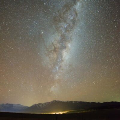 ★ 4.5Lake Tekapo: Alpine Stargazing Experience with a GuideFrom $59626 reviews
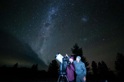 ★ 4.9Lake Tekapo: Stargazing ExperienceFrom $71607 reviews
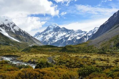 ★ 4.9Mount Cook & Lake Tekapo Day Tour from ChristchurchFrom $146483 reviews
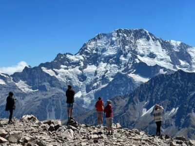 ★ 4.8Mount Cook: Scenic Helicopter Flight with Alpine LandingFrom $226442 reviews
 ★ 5.0Mt Cook Small Group Scenic Day Tour from QueenstownFrom $164407 reviews
 ★ 5.0Mount Cook, Lake Tekapo and Tasman Glacier Tour from ChristchurchFrom $155353 reviews
 ★ 4.6From Christchurch: Mt Cook Day Tour & Lake TekapoFrom $175331 reviews
 ★ 4.8From Queenstown: Mt Cook & Tasman Glacier Viewpoint Day TourFrom $146329 reviews
Browse the lists this tour appears in