
REVIEW · WANAKA AND CARDRONA
Wānaka: Scenic Helicopter Flight Wānaka Max
Two alpine landings turn Wānaka into a postcard. I love the chance to step onto Coromandel Peak (Mt Roy) and I love the Mou Waho lake-within-a-lake view from above.
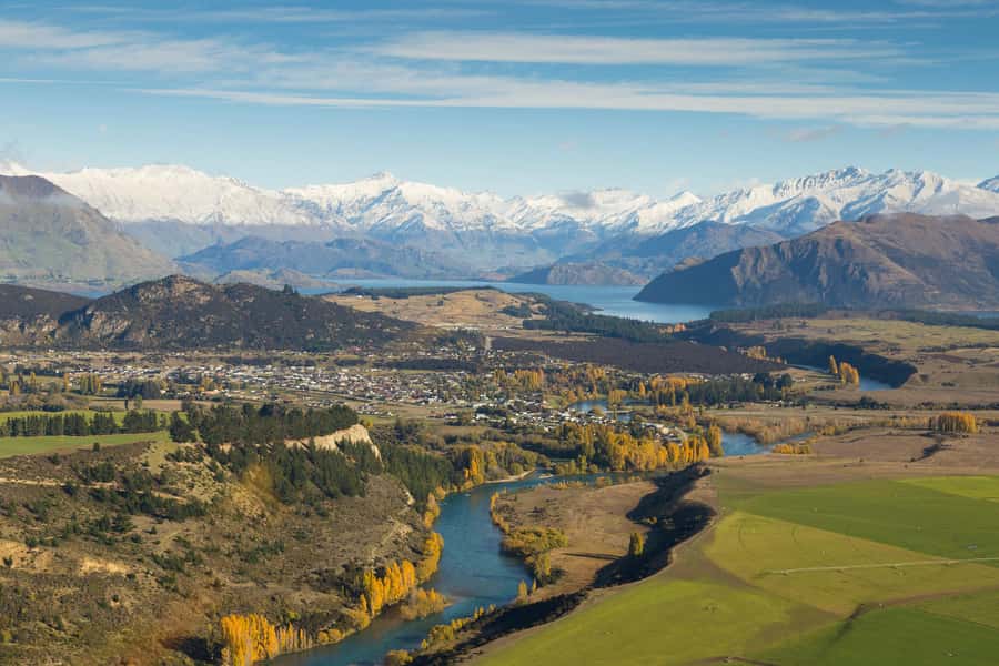
The trip is short, but it packs in big scenery, including the Matukituki River valley, snow-capped peaks in Mt Aspiring National Park, and a return sweep over Wānaka town.
One possible snag: your flight can be postponed or canceled due to weather or pilot availability. It is not usually a problem, but you should plan with some flexibility if you have tight timing.
In This Review
- Key points to know before you fly
- Why the Wānaka Max route feels like more than 45 minutes
- Wanaka Helicopters office to flight time: what makes it easy
- Matukituki River valley: the view that sells the whole trip
- Coromandel Peak (Mt Roy) landing at about 4,000 feet
- Mou Waho Island and the lake-within-a-lake effect
- Mt Aspiring National Park: snow-capped peaks and glacier-carved valleys
- Lake Hāwea and Stevensons Arm: a contrast-filled circuit back to town
- Price and value: is $298 worth it for a 45-minute helicopter flight?
- Best for what type of traveler, and photo tips that actually help
- Should you book the Wānaka Max scenic helicopter flight?
- FAQ
- Where is the meeting point for the Wānaka Max flight?
- How long is the Wānaka Max experience?
- How many alpine landings does this flight include?
- Is the Coromandel Peak (Mt Roy) landing guaranteed?
- What major sights are included during the flight?
- Is there a live tour guide, and what language is it in?
- Are meals or drinks included?
- Is it wheelchair accessible, and are there any rules like smoking?
Key points to know before you fly
- Two alpine landings: the wow factor is not just flying overhead, you also touch down on mountain ground.
- Mt Roy, if available: the Coromandel Peak landing is a signature moment, but it depends on conditions.
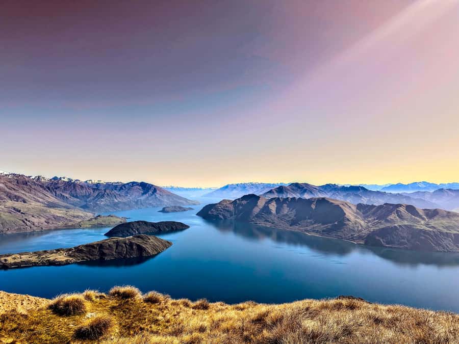
- Mou Waho’s lake-within-a-lake: a rare aerial perspective that is hard to duplicate any other way.
- Mt Aspiring National Park views: get snow-capped drama and glacier-carved valleys from above.
- Lake Hāwea plus Stevensons Arm contrast: watch the water and shoreline shapes change as you circle back.
- English live tour guidance: your pilot shares key sights in real time, which helps you spot what matters.
Wanaka and the Cardrona valley, continued
- Wildwire Wanaka- Level 2 (4 Hours)
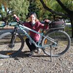
★ 5.0 · 467 reviews - Bike the Wanaka and Hawea Trails
★ 5.0 · 346 reviews - Lake Wanaka Happy Hour Cruise
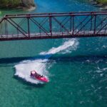
★ 4.6 · 313 reviews - Small Group Jet Boat Adventure on the Clutha River from Wanaka
★ 5.0 · 302 reviews
Why the Wānaka Max route feels like more than 45 minutes
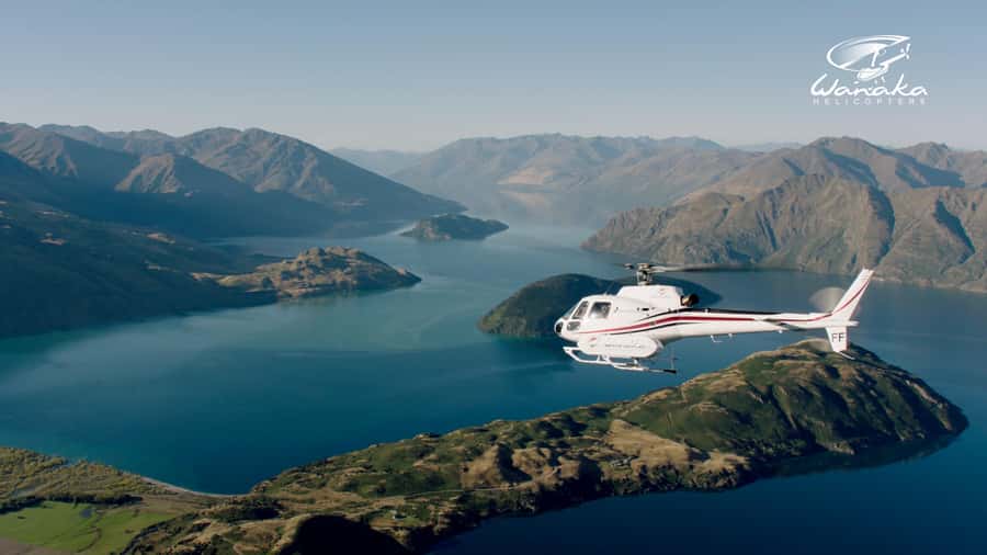
This is the kind of flight that makes time feel weird in the best way. You are airborne for only 45 minutes, yet the route moves through multiple, very different settings: river valley, alpine summit touchdown, a protected island reserve, and then a wide circuit over major water bodies around Wānaka.
What I like most is how the flight is built for “instant context.” From the first minutes, you can connect Wānaka town and Lake Wānaka to the surrounding peaks and valleys. Then the two alpine landings give you a real sense of place, because you are not only watching terrain from above, you are actually landing on it.
For you, that means the experience works even if you are not a hardcore outdoors person. You just look, listen, and take photos, and the area’s scale becomes obvious fast.
Wanaka Helicopters office to flight time: what makes it easy
You meet at the Wanaka Helicopters office in Wānaka. The big advantage here is that the process is set up to be quick, with skip the ticket line, so you are not losing your limited time to long check-in queues.
You also get a live tour guide in English. That matters because helicopter scenery can blur together if you do not know what you are seeing. Having someone point out key landmarks as you go helps you remember the flight as more than pretty views.
Practical notes that you should plan for: this is not a meal-included activity, and meals and drinks are not included. If you are going mid-day or evening, grab food earlier or after. Also, smoking is not allowed.
Matukituki River valley: the view that sells the whole trip
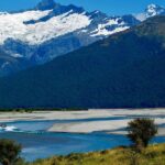
The flight starts feeding you big shapes right away, and the Matukituki River valley is a standout. From above, you get a clear read on how the river threads through the valley, plus how the surrounding slopes rise into alpine country.
I like this part because it gives you structure. When you see a river valley from a helicopter, you can understand the direction the land “flows,” and that makes everything later, the lakes and arms, feel connected instead of random.
You will likely notice how the valley reads differently depending on where the aircraft angles. One view shows the river and its bends; another shows the valley walls and how dense the bush looks below. If you bring a phone camera, this is also a great section for quick shots, because you have both water and mountains in the same frame.
Coromandel Peak (Mt Roy) landing at about 4,000 feet
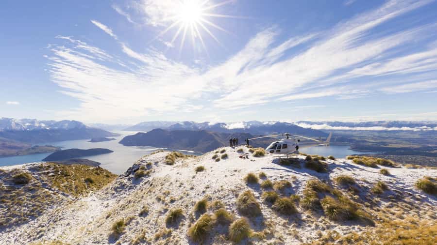
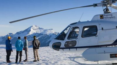
If you get the Coromandel Peak landing, it becomes the highlight for many people. The Wānaka Max experience is designed around two alpine landings, and Coromandel Peak, also referred to as Mt Roy, is a major one when conditions allow.
The landing is at 4,000 feet, and from the ground you get panoramic views over Lake Wānaka and the township, plus the broader region beyond. The key point here is that you are not just touching down for a photo opportunity. You get a moment where you can look around and actually connect the map you might have in your head to what is in front of you.
What to keep in mind for your expectations: Coromandel Peak is listed as included if available. That means weather and operational conditions can affect whether you do this exact landing. Even if it changes, the overall value stays solid because you still have the flight circuit plus the second alpine landing.
More rotor time over Wanaka
Mou Waho Island and the lake-within-a-lake effect
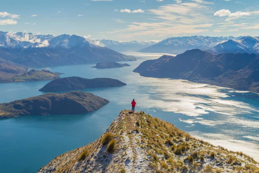
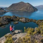
Then you get to one of those “wait, what am I looking at?” moments. Mou Waho Island is a protected Nature Reserve, and the view from above is famous for the lake-within-a-lake look.
From the helicopter, you can see the way water features nest visually inside each other. On land, it is much harder to understand this kind of pattern, because angles and distance matter. Flying above compresses the complexity into a single readable shape.
I also think this is one of the best parts for people who normally find scenic tours repetitive. A lot of flights show peaks and lakes. This one shows a visual trick in the geography, and once you spot it, it sticks in your memory.
Mt Aspiring National Park: snow-capped peaks and glacier-carved valleys
As the route moves toward Mt Aspiring National Park, the scenery shifts from lakes and valley lines to dramatic high-alpine forms. You will see snow-capped peaks and ancient glacier-carved valleys from above, which is exactly the kind of view that helicopters handle well.
This is also a World Heritage listed area, so the flight is doing something practical: showing the scale and patterns that explain why the region matters. From the air, you can see how the valleys were shaped and how the terrain changes with elevation.
If you are traveling with someone who wants nature but also cares about comfort and access, this is a good match. You are not hiking through steep or time-consuming routes. You are getting a high-impact aerial overview, in a short time window.
Lake Hāwea and Stevensons Arm: a contrast-filled circuit back to town
The end portion focuses on waterways and shorelines, and it is a nice reminder that Wānaka is not only about mountains. You will fly above Stevensons Arm, with views of Lake Hāwea, and you will complete the circuit with a sweeping perspective over Wānaka township as you return.
I like this segment because it shows contrast. Lake Hāwea and Stevensons Arm have different shapes and pacing, and you can read the shoreline pattern and how the water meets land at different angles. It helps you understand why Wānaka feels like a hub between open water and steep country.
This is also where good pilot narration pays off. A skilled pilot will guide you through the arm so you know what to look for as the aircraft turns. One pilot name you might hear mentioned in the local chatter is Travis, and the consistent theme is that the guidance helps you spot the “must-see” angles before you miss them.
Price and value: is $298 worth it for a 45-minute helicopter flight?
At $298 per person, you are paying for three things: time efficiency, access to alpine landing viewpoints, and the ability to see multiple regions in one loop.
Here is how I judge value for a price like this. If the flight were only a pass over scenery, it would be hard to justify versus a viewpoint drive. What makes this one different is the two alpine landings, with Coromandel Peak (Mt Roy) listed as included if available. Those landings are what turn the trip from sightseeing into an experience with a stronger personal memory.
Also, the flight time is 45 minutes, which is short enough to fit into a tight South Island schedule. You do not have to rearrange your whole day for one activity, and you get a high payoff for the time spent.
For best value, I suggest booking when your weather window is best, not when you have to hit the next train at a specific minute. Even if the flight is confirmed, weather and pilot availability can cause changes, so being flexible protects your investment.
Best for what type of traveler, and photo tips that actually help
This flight suits you if you want dramatic scenery without committing to a long hike. It also works well if you are a photographer who likes clean wide-angle compositions. The route offers multiple “layers” in the frame: river valley lines, lakes, and mountains. That layering is where aerial photos can look especially striking.
It is also a smart pick for couples or small groups because the experience is guided in real time and the flight circuit keeps momentum. You should still take comfort into account. You are in a helicopter environment, so if you are sensitive to noise or motion, go into it calmly and plan to keep your expectations grounded in the short duration.
A few practical photo tips:
- Keep your camera ready early for each turn, especially before the alpine landing sections.
- Use quick checks of your framing, because the best angles often pass fast during circling.
- Bring something to keep essentials secure, like a crossbody strap or pocket-friendly setup, since you will likely be moving and turning to look.
Should you book the Wānaka Max scenic helicopter flight?
You should book this if you want the strongest “Wānaka from above” experience in a compact timeframe, and especially if alpine landings are on your wishlist. The combination of Matukituki River valley views, the potential Mt Roy landing, the Mou Waho lake-within-a-lake moment, and the Mt Aspiring National Park snow-capped drama is a solid mix.
You might skip it or book with extra time buffer if your schedule is strict and you would not handle a possible postponement due to weather or pilot availability. But if you can be flexible, this is the kind of activity that turns the region into something you can really picture, not just photograph.
FAQ
Where is the meeting point for the Wānaka Max flight?
You meet at the Wanaka Helicopters office in Wānaka.
How long is the Wānaka Max experience?
The duration is 45 minutes.
How many alpine landings does this flight include?
It includes two alpine landings.
Is the Coromandel Peak (Mt Roy) landing guaranteed?
It is included if available, so it depends on operational conditions.
What major sights are included during the flight?
You get views of the Matukituki River valley, Mou Waho Island with the lake-within-a-lake view, Mt Aspiring National Park, Lake Hāwea, Stevensons Arm, and a return sweep over the Wānaka township.
Is there a live tour guide, and what language is it in?
Yes, there is a live tour guide in English.
Are meals or drinks included?
No, meals and drinks are not included.
Is it wheelchair accessible, and are there any rules like smoking?
It is listed as wheelchair accessible, and smoking is not allowed.
Rotor Time Over Wanaka
Everything Else We Wrote Up in Wanaka

Wanaka and the Cardrona Valley
Just added to our Wanaka notes
- Wānaka: Scenic Helicopter Flight Wānaka Max★ 5.0 · 11 reviews
- Lake Wānaka: 3 hour Fishing Adventure by Boat★ 5.0 · 12 reviews
- 3 Hour in Wanaka Fishing Charters★ 5.0 · 14 reviews
- 30min Classic VR (max 2 games)★ 5.0 · 24 reviews
- Siberia Experience:Fly-Hike-Jetboat:Wilderness Adventure:Wanaka★ 5.0 · 26 reviews
- 60Min Classic VR (max 4 games)★ 5.0 · 27 reviews
Wanaka and Cardrona, compared.
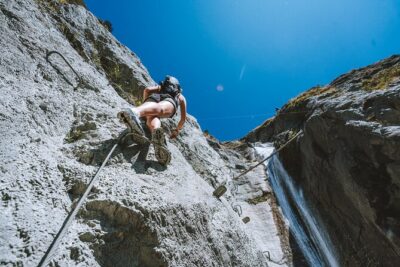 ★ 5.0Wildwire Wanaka- Level 2 (4 Hours)From $232467 reviews
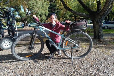 ★ 5.0Bike the Wanaka and Hawea TrailsFrom $80346 reviews
 ★ 4.6Lake Wanaka Happy Hour CruiseFrom $38313 reviews
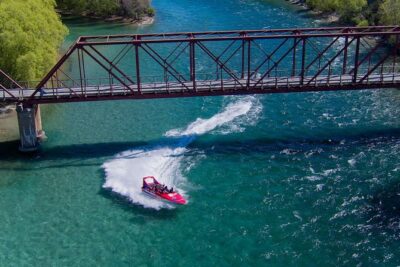 ★ 5.0Small Group Jet Boat Adventure on the Clutha River from WanakaFrom $98302 reviews
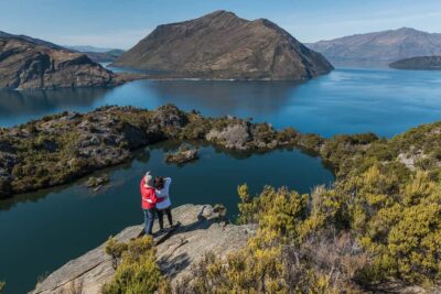 ★ 4.8Wanaka: Water Taxi & Mou Waho Island TourFrom $83299 reviews
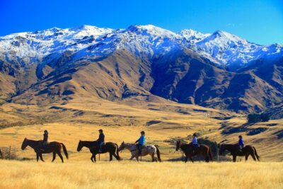 ★ 5.0Cardrona High Country Pub Trail Horse Riding Trek (Intermediate+)From $365261 reviews
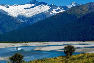 ★ 5.0Jet Boat and Wilderness Walk Tour from WanakaFrom $215259 reviews
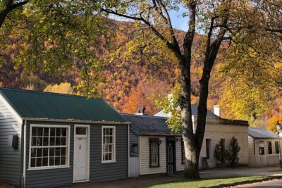 ★ 5.0Arrowtown and Wanaka Highlights Tour from QueenstownFrom $129252 reviews
Browse the lists this tour appears in