
REVIEW · SCENIC FLIGHTS OVER NEW ZEALAND
Southern Alps Scenic
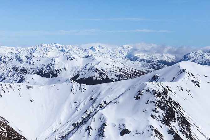
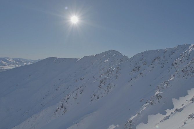
A helicopter landing on a high peak sounds special. This private ride flies you through the Southern Alps to land on Chest Peak, about 6,500 ft up, with your pilot sharing local context and story while you look down at the braided valleys. The whole point is simple: you get aerial views and then you actually step onto the mountain for big-sky photos.
I especially love two things about this experience. First, the summit landing at Chest Peak turns the trip from just sightseeing into a proper viewpoint stop. Second, the scenery from above is varied, from the braided Waimakariri River to the rock shapes around Castle Hill, so you never feel like you’re staring at the same view for the whole flight.
One consideration: this is a Southern Alps Scenic flight, not a glacier tour. If you want snow or glacier scenery, you’ll need a different flight option offered by the same operator, and you also have to plan around weather since the ride runs only when conditions are good.
In This Review
- Key Highlights You’ll Feel Fast
- Where This Helicopter Ride Shines in the Christchurch Region
- Chest Peak Landing: The Moment You Actually Remember
- Flying Over the Braided Waimakariri River Without the Guesswork
- Castle Hill Rock Scape: When the Region Looks Like Another Planet
- Canterbury Plains Inbound Views: Build Context Before the Peak
- What Makes This Tour Feel Private (Even When It’s Short)
- Photo Strategy for a Summit Landing and Aerial Views
- Pilot Stories and Local Knowledge: Why It’s Not Just Transportation
- Price and Value: What You’re Paying For, and When It’s Worth It
- Weather and Timing: The Stuff That Actually Affects Your Day
- Who Should Book Southern Alps Scenic
- FAQ
- FAQ
- Where does the Southern Alps Scenic helicopter ride start?
- How long is the experience?
- Is this a private tour or shared activity?
- What are the main sights during the flight?
- Do you land on the mountain?
- What kind of views should I expect from the summit?
- Will I see sheep stations from above?
- What if the weather is poor?
- What is the cancellation window?
- Does the operator use mobile tickets?
- Final Decision: Should You Book This Ride?
Key Highlights You’ll Feel Fast
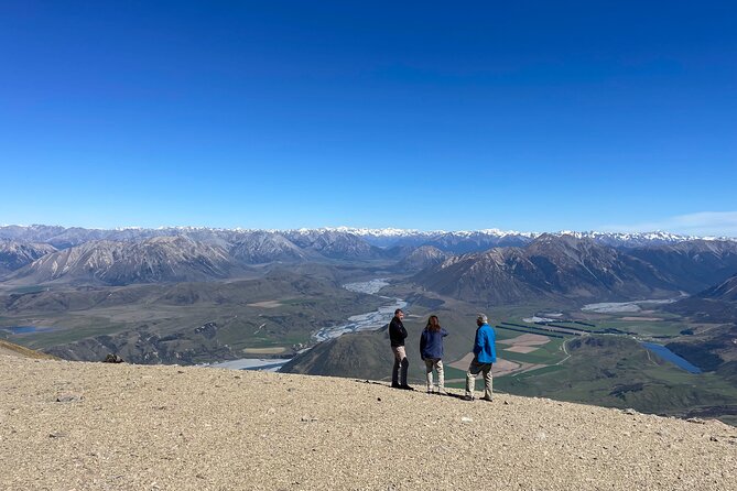
- Chest Peak summit landing (around 6,500 ft) for 360-degree viewing and photos
- Braided Waimakariri River fly-over, one of the region’s most iconic river patterns
- Castle Hill rock scape views that look dramatic even from the air
- Canterbury Plains inbound to build context before you arrive at the peak
- Private group flight experience, just your party in the helicopter
Still weighing up the options? These are the other Christchurch trips we have written up.
- Christchurch Hop-On Hop-Off Tram
★ 4.5 · 841 reviews - Christchurch Gondola and Tram City Tour Combo
★ 4.5 · 725 reviews - Christchurch: Hop-On Hop-Off Tour by Vintage Tram
★ 4.6 · 717 reviews - Christchurch: Tram, Punt and Gondola Ride Combo Ticket
★ 4.7 · 608 reviews
Where This Helicopter Ride Shines in the Christchurch Region
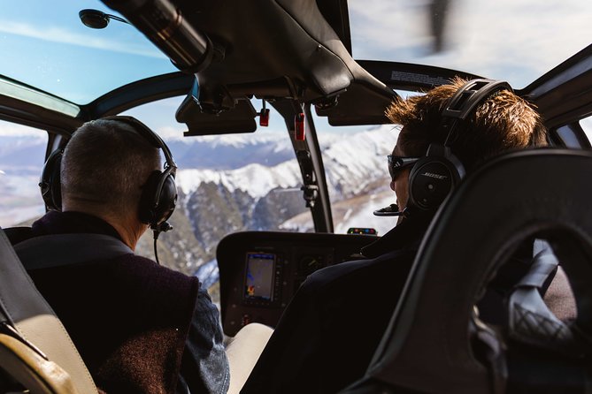
If you’re using Christchurch as a base, helicopter time is one of the quickest ways to shift your perspective. Instead of long drives and limited viewpoints, you get up into the Southern Alps world fast, then land on a mountain. That combo matters.
The ride is built around one clear destination: Chest Peak, just under 6,500 ft. The description calls out 360-degree views from up top, which is exactly what you want when you’re looking for that wow factor without waiting all day for weather changes and trail conditions.
A big advantage is the structure of the flight. You’re not just flying past highlights. You fly over a river pattern (braided Waimakariri), pass famous rock terrain (Castle Hill), then come in over the Canterbury Plains before you land. Even if the flight is only around 1 hour 15 minutes total, it feels like a route with a purpose, not a random sightseeing loop.
And because it’s private, you’re not sharing the moment with a bigger group than your party. That usually means more straightforward communication with the crew, and it’s easier to coordinate photos, timing, and general questions without the whole process feeling rushed.
Chest Peak Landing: The Moment You Actually Remember
Most helicopter tours give you views. This one gives you a stop you can stand on.
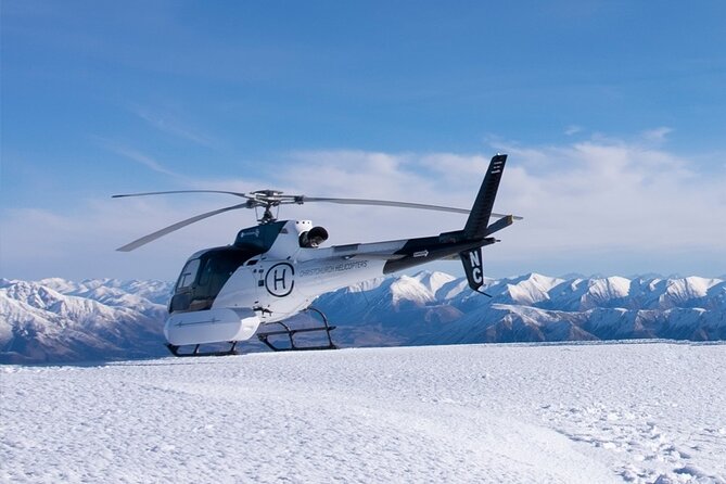
You fly inbound for Chest Peak, then you land at the top so you can witness the view in all directions. That’s the key detail that changes the experience. From a photo standpoint, you’re not limited to window angles and reflections. You’re on the summit, looking out, moving your body a bit, and composing shots like you’re at a lookout point.
What you’re likely seeing from that height is the way the region layers. Up on a peak, you can usually read the geography in bands: plains below, rivers threading across valleys, then ridges and higher peaks fading into distance. That’s the “context” people chase in New Zealand, and a summit landing is one of the fastest ways to get it.
There’s also a practical benefit. If you’re the kind of traveler who gets annoyed when an excursion is mostly sitting on a vehicle, this is different. The helicopter gets you in the air quickly, and the landing gives you a real pause. Even if the stop time feels short compared with a hike, it’s still a true break, not just a moment through a window.
Flying Over the Braided Waimakariri River Without the Guesswork
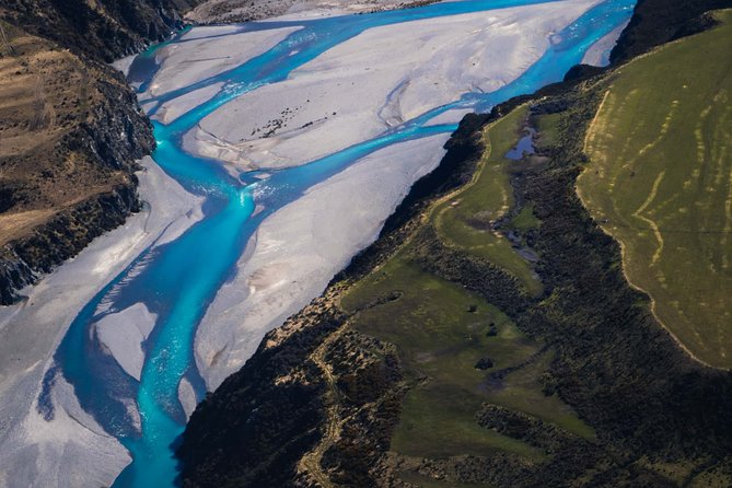
One of the most specific and satisfying parts of the route is the fly-over of the Waimakariri River. The tour summary points to the river’s braided pattern, and if you’ve never seen a braided river from above, it’s a bit mind-bending.
From the air, you can often pick out the multiple channels and the way gravel bars and banks create a branching, shifting look. It turns the river into a living map. You’re not just seeing water, you’re seeing a whole system of movement.
This is also a great “early win” in the flight, because it sets the mood right away. You start by looking down at the valley shapes, then you move to the rock terrain. That makes the entire route feel connected, like you’re being shown a story of the land rather than given a list of landmarks.
The tour itinerary describes a stop for the fly across the trees of the braided Waimakariri River, which tells me you’ll get a visual transition, then a view that opens up as you cross above the river system. For photo lovers, this kind of transition is helpful, because you can frame shots that show the river’s branching pattern rather than only getting a partial angle.
Castle Hill Rock Scape: When the Region Looks Like Another Planet
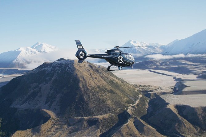
Castle Hill is one of those places you can recognize even without knowing the name, because the rock formations and erosion patterns create a distinct look. In this flight, the tour includes seeing the incredible rock scape of Castle Hill.
From above, rock terrain like this can look even more sculpted. The shape and spacing between formations becomes clear, and you can read the surface texture in a way that’s hard to notice at ground level.
There’s also a timing advantage. You pass Castle Hill before the final approach toward the summit. So even if you’ve only got limited time for photos during the whole flight, you’ll already have a big scenic target in view in the earlier portion. That reduces pressure later if conditions are changeable.

Canterbury Plains Inbound Views: Build Context Before the Peak
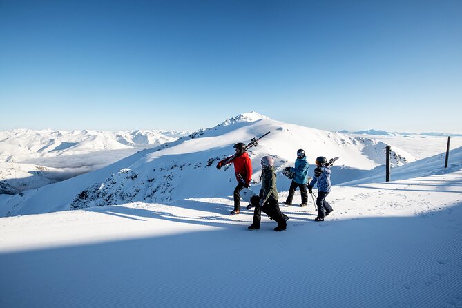
Before you reach Chest Peak, you fly across the Canterbury Region, inbound for the summit. The summary explicitly calls out the vast Canterbury Plains.
This matters because the plains give you scale. When you’re staring at a mountain peak, it’s easy to lose the sense of distance and dimension. From the air, the plains can help you understand how large the region is, and how the mountains sit in relation to flatter ground.
Also, if you enjoy “spotting” details, this part can be satisfying. The highlights mention the expansive sheep station of Flock Hill. If you like scanning the ground for landmarks, this is where you’ll likely enjoy identifying patches of human activity, fencing lines, and the overall spread of land use.
Even if you don’t land on the plains, you get enough of a view to make the summit feel more dramatic. The contrast between wide flats and steep terrain is what makes mountain scenery hit.
What Makes This Tour Feel Private (Even When It’s Short)
The experience is listed as private for your group only. In practice, that usually changes the tone of the ride.
You can ask questions without feeling like you need to be quick to avoid holding anyone else up. Pilots can also tailor their explanations slightly more to the interests of your party, especially when they’re sharing local knowledge and personal stories during the flight.
A detail from the experience highlights is that your pilots share local knowledge and personal stories throughout. In at least one example of how this experience plays out, the reception welcome is described as cheerful, with staff member Jess at reception, and a pilot named Scott is mentioned as professional and good at explaining what’s below. You should expect a similar style of communication, not just silence and scenery.
The duration also helps. With about 1 hour 15 minutes total, you’re not stuck in a day-long travel shuffle. You get a concentrated experience, and you’re free to move on after. If your itinerary in the South Island is packed, that timing is a genuine advantage.
Photo Strategy for a Summit Landing and Aerial Views
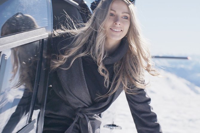
If you care about photos, this flight gives you more angles than you might expect from a short time.
Here’s the practical approach I’d use:
- Take a few wide shots during the fly-over sections to capture the overall geography. Braided rivers and rock scapes are best as context photos.
- Save your close-up composition ideas for the moment you’re actually on top. Summit views let you shoot more naturally without glass distortion.
- Use the flight route to plan your “theme.” The river is your leading subject, Castle Hill is your texture subject, and the summit is your scale subject.
The highlights specifically mention impressive photos on top of a mountain and 360-degree views from Chest Peak. The best results usually come from shooting in cycles, not one long burst. Walk a few steps, look for a new direction, then shoot again. A summit landing gives you that chance.
Bring a fully charged phone or camera. Also, remember that in helicopters, you might get window glare at times. If you’re serious about photos, use a lens cloth and wipe the window area before framing through glass. Small steps make a noticeable difference.
Pilot Stories and Local Knowledge: Why It’s Not Just Transportation
The flight isn’t only about moving you from Christchurch to a viewpoint. The description promises pilots who share local knowledge and personal stories.
That matters because it turns the views into something you can name and remember. When you understand what you’re looking at, you’ll enjoy the flight more in real time. You also get a better “after” experience, since you can connect the photos you took to what they mean.
Based on a crew example tied to this experience, a pilot like Scott is described as professional and explaining the sites and views, with fun stories added into the mix. That’s the kind of commentary that helps you notice things quickly. You don’t have to be a geology nerd to appreciate rock scapes when someone points out what to look for.
Price and Value: What You’re Paying For, and When It’s Worth It
At $1,284.59 per person, this is not a budget activity. Helicopter rides usually aren’t.
But the value question is really about what you get that you cannot easily get any other way. This trip includes:
- A flight time of about 1 hour 12 minutes
- A landing at the top of Chest Peak, around 6,500 ft
- A route that includes multiple distinct features, including braided river and Castle Hill rock terrain
- 360-degree views from the summit
If you were trying to recreate this by hiking or driving, you’d likely trade money for time and physical effort, and you might still not get the same aerial context. Helicopters compress the experience. You go up, see the big picture, and then you land where most travelers only ever see from a distance.
There’s also mention of group discounts. If you’re traveling with friends or family, the per-person cost can feel less painful because you can spread it across a group that’s already heading in the same direction. Since it’s a private group, you’re also paying for exclusivity, not for a seat in a larger shared aircraft.
So when is it worth it? If you want maximum scenic payoff in minimal time, and if summit landing is genuinely your kind of experience, this price can feel reasonable.
When might it not? If your priority is a specific type of glacier or snow scenery, this exact flight is not marketed around that. There is a separate Rakaia Glaciers flight option, which matters if that’s the main thing you want to see.
Weather and Timing: The Stuff That Actually Affects Your Day
This experience requires good weather. If the ride is canceled due to poor weather, you’re offered a different date or a full refund.
That’s not a small detail. Helicopters are very dependent on conditions, and mountain areas can shift quickly. If you’re planning multiple tight activities on the same day, build in flexibility so you can reschedule if the forecast doesn’t cooperate.
Your flight also runs on a set schedule. Opening hours are listed from 8:30 AM to 5:00 PM, Monday through Saturday. That means you’ll likely want to anchor your Christchurch day plan with this window in mind, rather than stacking it next to something that leaves you no room for delays.
The tour start and end is at the same meeting point, Christchurch Helicopters at 25 Aviation Drive, Harewood (Aviation Park, Christchurch Airport area). So you’re not dealing with complicated transfers.
If you like simple logistics and a short, focused outing, this fits that style.
Who Should Book Southern Alps Scenic
This helicopter ride fits best if you:
- Want big views quickly, with a real summit landing stop
- Like aerial scenery, especially river systems and rock terrain
- Enjoy photo opportunities from multiple angles, including on-foot at the top
- Prefer a private experience where your group has more room to ask questions
It might be less ideal if you:
- Are specifically looking for glaciers and snow scenery. This flight centers on Chest Peak and surrounding highlights, and a glacier-focused flight is a different option.
- Don’t have flexibility in your schedule, since the ride depends on weather.
Also, the experience notes that most travelers can participate. If you’re unsure, it’s still smart to check with the provider about your personal comfort and any concerns, since helicopter seating and conditions can feel different from ground tours.
FAQ
FAQ
Where does the Southern Alps Scenic helicopter ride start?
It starts at Christchurch Helicopters, 25 Aviation Drive, Harewood, Aviation Park, Christchurch Airport area. The activity ends back at the same meeting point.
How long is the experience?
It runs about 1 hour 15 minutes total, with flight time listed as 1 hour 12 minutes.
Is this a private tour or shared activity?
This is listed as a private tour/activity, so only your group will participate.
What are the main sights during the flight?
You’ll fly across the braided Waimakariri River, see the rock scape of Castle Hill, then fly inbound over the Canterbury Plains to Chest Peak for summit views.
Do you land on the mountain?
Yes. The tour description says you land on Chest Peak, at about 6,500 ft.
What kind of views should I expect from the summit?
The experience highlights 360-degree views of the region from the top of Chest Peak.
Will I see sheep stations from above?
The highlights mention spotting the expansive sheep station of Flock Hill.
What if the weather is poor?
The experience requires good weather. If it’s canceled due to poor weather, you’ll be offered a different date or a full refund.
What is the cancellation window?
Free cancellation is available up to 24 hours in advance for a full refund, based on local time.
Does the operator use mobile tickets?
Yes, it includes a mobile ticket.
Final Decision: Should You Book This Ride?
I think you should book Southern Alps Scenic if you want a short, high-impact experience with a true payoff: flying over multiple standout features and then landing on Chest Peak for 360-degree views. It’s a strong choice for photographers, view lovers, and travelers who want to spend less time on transit and more time looking.
Skip or pair it with a glacier-focused option if your main goal is snow or glacier scenery. This flight is built around the Southern Alps sights around Chest Peak, not glacier viewing. If you match your expectations to that, the whole day tends to feel like the kind of trip you’ll remember months later.
Everything Else We Wrote Up in Christchurch



Just added to our Christchurch notes
- (MT) Mount Cook & Lake Tekapo Day Tour from Christchurch★ 4.8 · 6 reviews
- Christchurch: Sea Kayaking Tour of Lyttelton Harbour★ 5.0 · 6 reviews
- Christchurch: Lake Tekapo Stargazing & Mount Cook 2-Day Tour★ 5.0 · 6 reviews
- Christchurch: Akaroa and Banks Peninsula Day Trip★ 5.0 · 6 reviews
- Christchurch: 20-Minutes City Helicopter Flight★ 5.0 · 6 reviews
- Christchurch: Helicopter Trial Flight★ 5.0 · 7 reviews
Scenic Flights over New Zealand, compared.
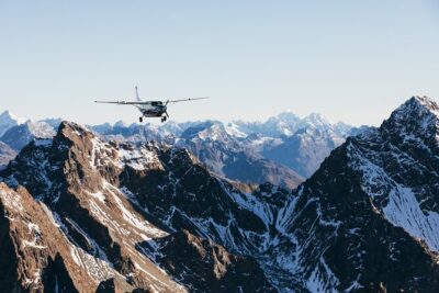 ★ 5.0Milford Sound Fly-Cruise-Fly Tour from QueenstownFrom $4621,792 reviews
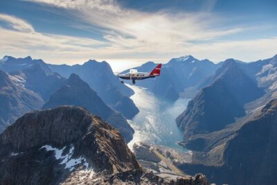 ★ 5.0Milford Sound Small Group Tour from Queenstown with Scenic FlightFrom $557324 reviews
 ★ 5.0Kaikōura Whale Watching Scenic Flight (40 Minutes)From $170221 reviews
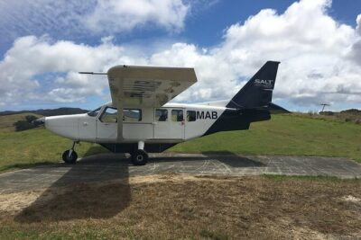 ★ 5.0Cape Reinga Half-Day Tour Including Scenic FlightFrom $346137 reviews
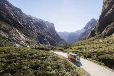 ★ 4.7From Queenstown: Milford Sound Coach, Cruise, Scenic FlightFrom $465113 reviews
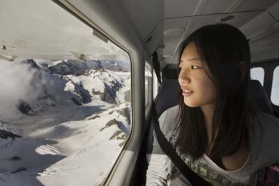 ★ 4.9Lake Tekapo: 50-Minute Mount Cook and Beyond Scenic FlightFrom $295103 reviews
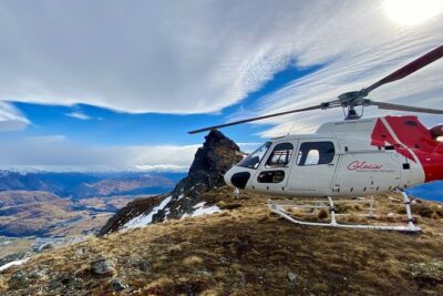 ★ 5.030-Minute Alpine Scenic Flight from QueenstownFrom $25163 reviews
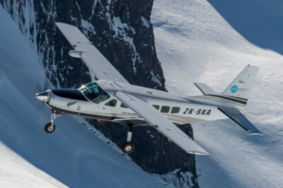 ★ 5.0Scenic Flight Transfer to Queenstown from Milford SoundFrom $35754 reviews
Browse the lists this tour appears in